
 Scan With Phone's Bar Code Reader

| NWS Local Storm Reports |
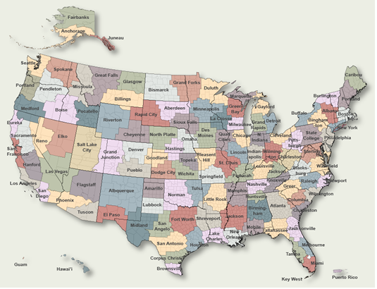
To Select Another NWS Office Click on Map or Choose from List
|
| Versions: 1 2 3 4 5 6 7 |
| Omaha NE 1 storm report |
| 4 MILES WEST-SOUTHWEST OF Platte Center | |||||
| Tornado This tornado track is based entirely off of eyewitness reports as there was no damage indicated along the entirety of the intermittent track. Emergency management, storm spotters, and video evidence indicate that the tornado began approximately 3 miles southwest of Platte Center. it moved northeast where it crossed the Central Highway road a half mile east of 325th avenue. From that point on, it became more intermittent, occasionally kicking up dust at the ground underneath the persistent funnel cloud. There were times, especially during the intermittent phase, when the ground level circulation went through center pivot irrigation systems without tipping them over, which has stood as the basis for rating this as an EF-0 tornado. Video evidence suggests that it was approximately 50 yards wide at its maximum width. The total track length was approximately 8.4 miles. |
|||||
| DATE 04/16/2024 |
TIME 11:35 AM |
COUNTY Platte |
STATE NE |
SOURCE NWS Storm Survey |
GEOGRAPHIC 41.52N 97.55W |

